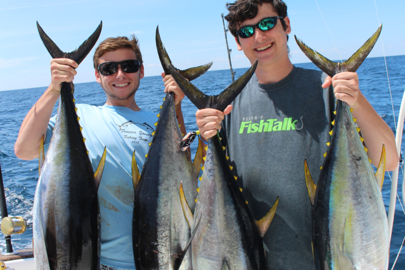
If you’re going to try some spring trolling for yellowfin tuna, locating and working along temperature breaks is often the key tactic to success. So before making that long run offshore set yourself up for success with the following tips.

- Research the offshore sea surface water temp charts. There are both free and pay-for services available which will help, but as a rule of thumb, you get what you pay for. The free services generally don’t have very good detail, and make it difficult to pinpoint GPS coordinates for breaks. Whichever you use, don’t just look at the latest snapshot. Look at several days prior, too, so you know the general direction of movement of the different bodies of water. Usually at least 12 to 24 hours will have passed from the time the shot was taken to the time you arrive at the fishing grounds, and this can translate into changes in water barrier locations measured in miles. If you don’t know which way the changes have been trending, you won’t know which direction to search in if you arrive on-site and don’t find the break.
- Look for areas where temp breaks intersect with structure. If, for example, there’s a break running east-west from 10 miles inside Poor Man’s Canyon to 10 miles outside of it, don’t pull back the throttles 10 miles shy of the drop at the first sign of the break. Keep running, and plan to focus your efforts where the temp break and the edge of the Continental Shelf meet one another.
- When you find a break, don’t fish one side or the other — zigzag back and forth across it, until you locate some fish. Tunas in particular will often be found on the cold side, even if (and sometimes especially if) the water on the cold side of the break is dirtier. Of course, there will also be times when the opposite is true. So try both and see what works.