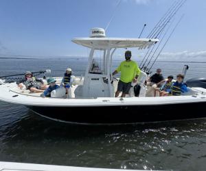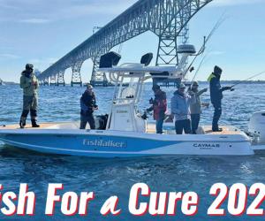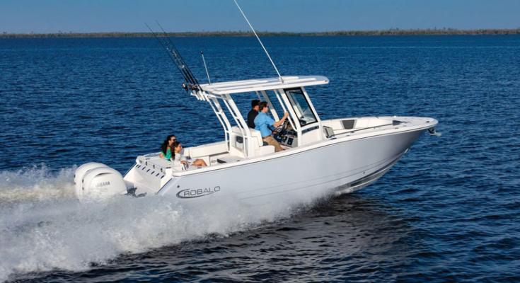
There’s something of a breakover point in center console fishing boats at around 26 feet of LOA. Smaller boats feel more subject to the whims of the waves, while larger boats feel more substantial underfoot. Smaller boats generally run on a single engine, while larger ones usually have twins. And smaller boats feel cramped with four or more…